dhupgurigirlscollege1@gmail.com
dhupgurigirlscollege1@gmail.com
The Department of Geography, under the prestigious University of North Bengal, embarked on its academic journey in the academic year 2018-19, introducing an Honours course in Geography. Prior to this significant milestone, the department offered only a Programme course in Geography, showcasing a steady evolution in its academic offerings.
The foundation of the department was strengthened by the joining of permanent faculty, Dr. Debarshi Ghosh and Dr. Somenath Kar, on May 24, 2017. Initially, the department was introduced with 20 Honours seats, which saw a progressive increase to 30 seats by the 2022-23 academic year. Following the implementation of the New Education Policy, the department experienced a significant expansion, with the number of seats soaring to 69.
The first batch of Honours students consisted of 14 ambitious learners in 2018-19, all of whom were part of the Choice Based Credit System curriculum, a testament to the department’s commitment to providing a modern and flexible learning environment.
In 2023, Mr. Abdul Momin Hoque enhanced the faculty by joining as a full-time member. Dr. Debarshi Ghosh has been serving as the Head of the Department since his appointment, contributing significantly to its development and continuity to date (March 20, 2024).
The department boasts a state-of-the-art GIS laboratory, named the S. Bose Lab, which is equipped with 14 computers designed for teaching GIS and Remote Sensing. Additionally, the department has advanced surveying and levelling instruments for practicals, demonstrating its commitment to hands-on learning and application of geographic concepts.
Our vision is to become a center of excellence in geographical studies, contributing significantly to the academic and practical understanding of geography. We aim to foster an environment that encourages innovative research tagging the local community and environment, critical thinking and to study the complex Man-Environment relationships.
The mission of the Department of Geography is to provide quality education that equips students with the skills and knowledge to excel in the field of geography. We are dedicated to offering modern courses that include GIS, Remote Sensing and advanced surveying techniques.
Our goal is to extend our expertise beyond the academic realm by providing map services, soil testing and weather analysis reports to the adjacent community as per their requirements. We pledge to continuously improve the discourse of geography through teaching, learning and the advancement of learning outcomes.

ASSISTANT PROFESSOR (Vidwan-ID : 590675)
View Profile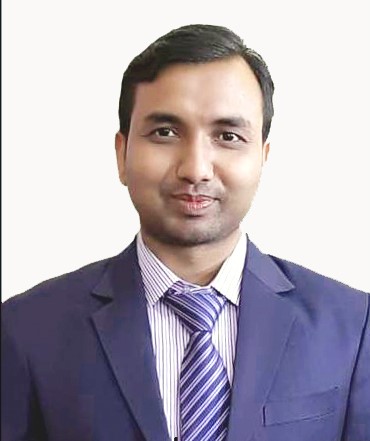
ASSISTANT PROFESSOR
View Profile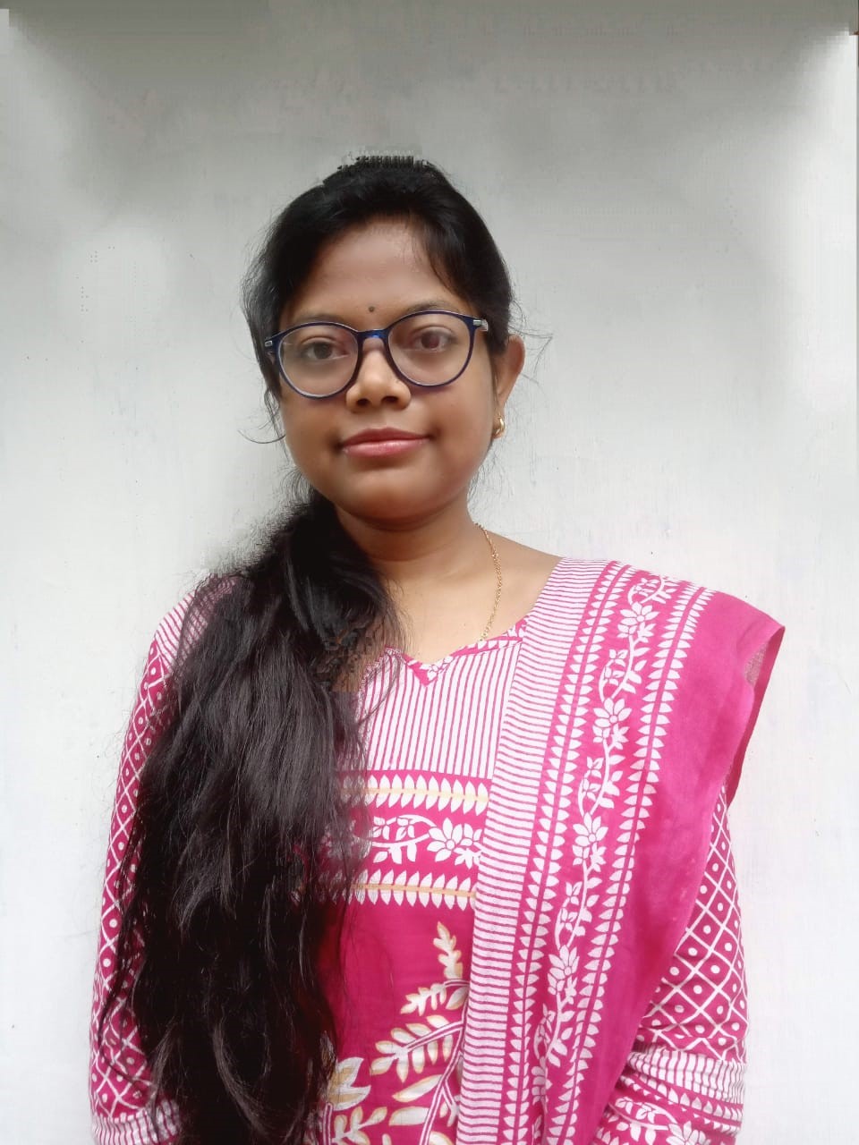
VISITING LECTURER
View Profile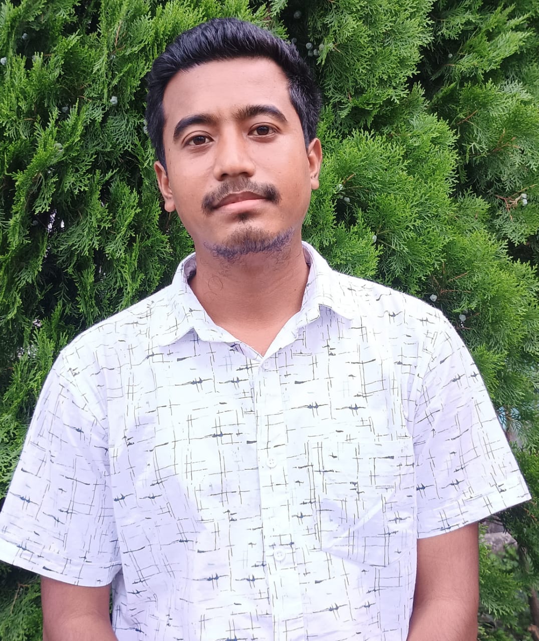
VISITING LECTURER
View Profile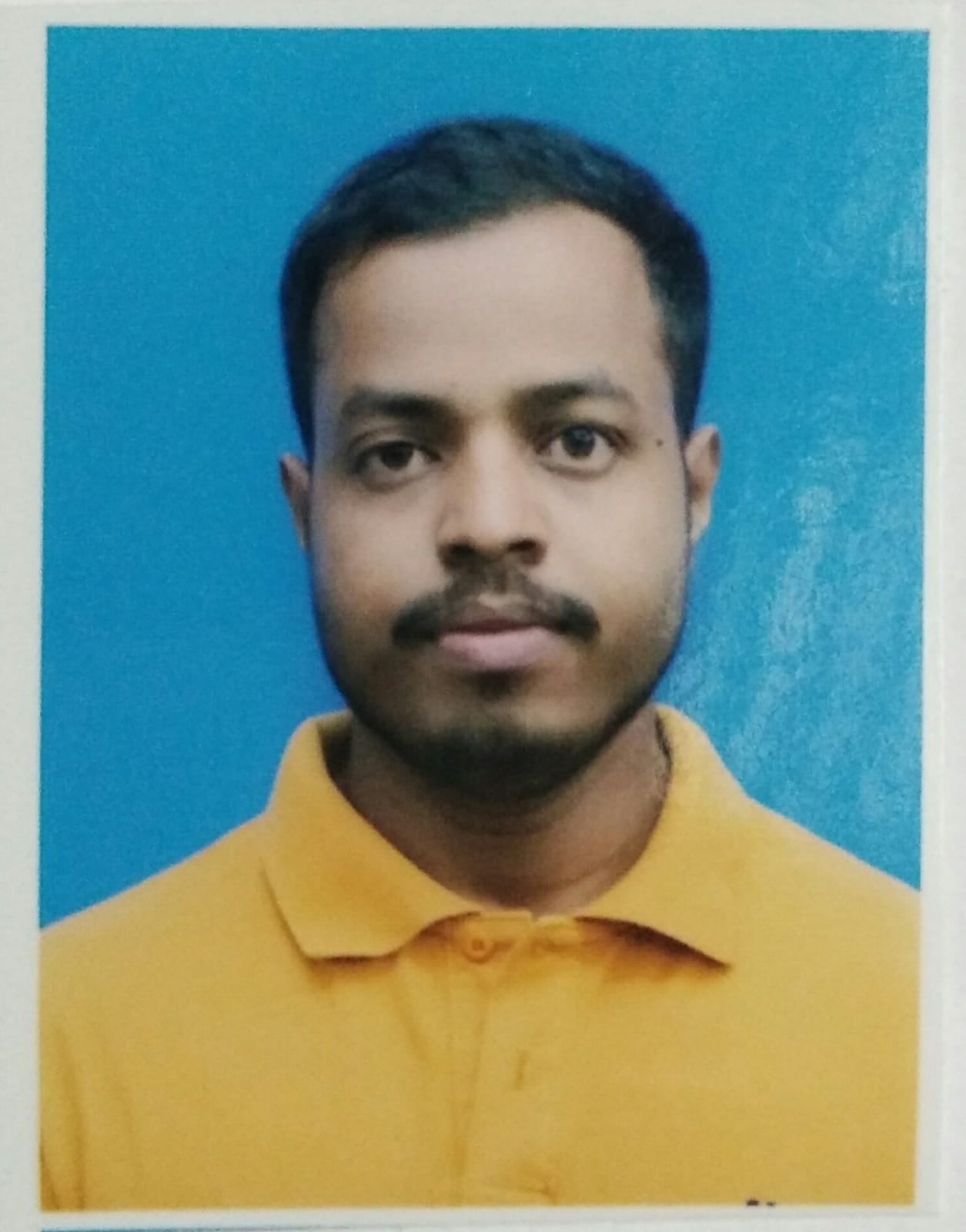
VISITING LECTURER
View Profile
| SL.NO | SYLLABUS | LINK |
|---|---|---|
| 1 | CBCS | VIEW SYLLABUS |
| 2 | NEP | VIEW SYLLABUS |
| 3 | OLD SYLLABUS(1+1+1) | VIEW SYLLABUS |
| 3 | FYUGP SYLLABUS | VIEW SYLLABUS |
| Course Code | Course Title | Course Outcome |
|---|---|---|
| GEO-H-DSC-1-01-TH | Geotectonic | Understand Earth’s tectonic evolution, plate boundaries, and natural phenomena like earthquakes and volcanoes. |
| GEO-H-DSC-1-01-PR | Practicals | Apply cartographic techniques and prepare project file demonstrating practical skills. |
| GEO-H-DSC-1-02-TH | Geomorphology | Analyze erosional and depositional landforms, understanding slope processes. |
| GEO-H-DSC-1-02-PR | Practicals | Interpret topographical maps, identify rocks and minerals. |
| GEO-H-DSC-2-03-H | Human Geography | Explore human-environment interactions, population dynamics, and resource relationships. |
| GEO-H-DSC-2-03-PR | Practicals | Present data effectively and use thematic mapping techniques. |
| GEO-H-DSC-2-04-TH | Settlement Geography | Comprehend rural and urban settlement growth, and urbanization patterns. |
| GEO-H-DSC-2-04-PR | Practicals | Apply surveying techniques and create thematic maps. |
| GEO-H-DSC-3-05-TH | Climatology | Understand atmospheric processes, climatic regions, and cyclones. |
| GEO-H-DSC-3-05-PR | Practicals | Handle meteorological instruments and interpret climatic data. |
| GEO-H-DSC-3-06-TH | Statistical Methods in Geography | Use statistics effectively for geographical data analysis. |
| GEO-H-DSC-3-06-PR | Practicals | Apply descriptive statistics and analyze correlations in geographical data. |
| GEO-H-DSC-3-07-TH | Geography of India | Analyze India’s physical, economic, and social geography, and understand regionalization using specific criteria. |
| GEO-H-DSC-3-07-PR | Practicals | Interpret temperature and rainfall graphs of selected Indian stations, and calculate population growth rates and measures of inequality for demographic analysis. |
| GEO-SEC-A-3-01-TH | Remote Sensing | Gain expertise in remote sensing techniques, satellite image processing, interpretation, and applications, enhancing job opportunities in various fields related to geospatial technology and environmental monitoring. |
| GEO-SEC-A-3-01-TH | Rural Development | Acquire a comprehensive understanding of rural development concepts, paradigms, area-based and target group approaches, and rural governance, preparing students for diverse job opportunities in rural development organizations, government agencies, and NGOs, contributing to sustainable development in rural areas. |
| GEO-H-DSC-4-08-TH | Economic Geography | Develop a comprehensive understanding of economic activities, their location factors, primary activities (agriculture, forestry, fishing, and mining), secondary activities (manufacturing, special economic zones, and technology parks), and tertiary activities (transport, trade, and services), preparing students for careers in economic analysis, regional planning, and industrial development. |
| GEO-H-DSC-4-08-PR | Practicals | Acquire practical skills in transport network analysis, state-wise occupational structure representation using proportional circles, and work participation rate representation, enhancing data visualization and analytical abilities for economic and regional planning applications. |
| GEO-H-DSC-4-09-TH | Regional Planning and Development | Gain in-depth knowledge of regional planning concepts, types of planning regions, and the process of regionalization for effective planning. Understand various theories and models for regional development, including Growth Pole Model and Growth Centre Model. |
| GEO-H-DSC-4-09-PR | Practicals | Acquire practical skills in delineating formal and functional regions using weighted index and breaking point analysis methods, and measuring regional inequality and disparity using Location Quotient and Sopher Index, enhancing analytical abilities for regional planning and development assessment. |
| GEO-H-DSC-4-10-TH | Field Work and Research Methodology | Understand the role of fieldwork, select appropriate techniques for data collection, and define research problems and objectives. |
| GEO-H-DSC-4-10-PR | Practical – Field Survey | Gain hands-on experience in field tools, design field reports, and develop practical skills in data collection and report writing. |
| GEO-SEC-A-4-02-TH | Geographical Information System – GIS | Acquire practical skills in GIS data analysis, including input, geo-referencing, editing, output, and querying, as well as the application of GIS for tasks such as land use mapping, urban sprawl analysis, and forests monitoring, enhancing job opportunities in geospatial technology, urban planning, and environmental monitoring. |
| GEO-SEC-A-4-02-TH | Tourism Management | Comprehensive understanding of tourism concepts, types, recent trends, and case studies in diverse regions, preparing students for careers in tourism management, hospitality industry, and travel planning, supported by India’s National Tourism Policy. |
| GEO-H-DSC-5-11-TH | Environmental Geography | Understand environmental concepts, human-environment relationships, ecosystems, and global, national, and regional environmental programs and policies. |
| GEO-H-DSC-5-11-PR | Practicals | Develop practical skills in creating questionnaires for environmental perception surveys and conducting a project on environmental issues in North Bengal, enhancing research and data analysis abilities. |
| GEO-H-DSC-5-12-TH | Remote Sensing and GIS | Understand remote sensing and GIS concepts, aerial photography, satellite remote sensing, and GIS data structures. Apply remote sensing and GIS for land use analysis, urban sprawl assessment, and forests monitoring. |
| GEO-H-DSC-5-12-PR | Practicals | Gain practical skills in air photo and satellite imagery interpretation, image processing, classification, Georeferencing, and GIS overlays. Enhance data analysis and visualization abilities for remote sensing and GIS applications. |
| GEO-H-DSE-5-01-TH | Population Geography – Theory | Understand population geography, data sources in India, population size, distribution, growth determinants, fertility, mortality, migration, and population composition. Address contemporary issues like aging population, sex ratio, and HIV/AIDS. |
| GEO-H-DSE-5-01-PR | Population Geography – Practical | Gain practical skills in population projection, population density mapping, work participation rate analysis, and occupation structure analysis. Enhance data analysis and visualization abilities for population-related research and planning. |
| GEO-H-DSE-5-01-TH | Resource Geography – Theory | Understand the concept, classification, and techniques related to natural resources. Analyze the distribution, utilization, problems, and management of land resources, water resources, forests, and energy resources. |
| GEO-H-DSE-5-01-PR | Resource Geography – Practical | Acquire practical skills in mapping land use/land cover, and compute the Human Development Index for comparative decadal change of the top five Indian states. Enhance data analysis and visualization abilities for resource-related research and analysis. |
| GEO-H-DSE-5-02-TH | Urban Geography – Theory | Understand urban geography, patterns of urbanization, functional classification of cities, and address urban issues and case studies in North Bengal, preparing for careers in urban planning and development. |
| GEO-H-DSE-5-02-PR | Urban Geography – Practical | Acquire practical skills in analyzing urban settlement hierarchy and state-wise urbanization trends using Census data. Enhance data analysis abilities for urban geography research and development studies. |
| GEO-H-DSE-5-02-TH | Agricultural Geography – Theory | Understand agricultural geography, including land use/land cover classification, determinants of agriculture (physical, technological, and institutional), agricultural regions of India (agro-climatic, agro-ecological, and commercial), and regional planning of agriculture. |
| GEO-H-DSE-5-02-PR | Agricultural Geography – Practical | Acquire practical skills in analyzing agricultural land use and cropping patterns using remote sensing and GIS tools. Enhance data analysis and visualization abilities for agricultural geography research and planning. |
| Code | Course Title | Course Outcome |
|---|---|---|
| GEO-H-DSC-6-13-TH | Evolution of Geographical Thoughts – Theory | Understand the development of geographical thought, from pre-modern origins to modern trends in Germany, France, Britain, and the USA. Analyze debates such as Environmental Determinism and Possibilism, Systematic and Regional approaches, and explore trends like the Quantitative Revolution, Behaviouralism, Feminism and the shift towards Postmodernism. |
| GEO-H-DSC-6-13-PR | Evolution of Geographical Thoughts – Practical | Acquire practical skills in using quantitative techniques in Geography, including Chi-square, standard score, and ranking coefficient by Kendall. Study crop combination methods by Weber, Rafiulla, and DoI, enhancing data analysis abilities for geographical research and analysis. |
| GEO-H-DSC-6-14-TH | Disaster Management – Theory | Understand hazards, disasters, risk assessment, and consequences of earthquakes, landslides, floods, riverbank erosion, and human-induced disasters. Prepare for careers in disaster management and emergency response. |
| GEO-H-DSC-6-14-PR | Disaster Management – Practical | Gain practical experience by preparing a project report on a disaster case study (flood, landslide, earthquake, or human-induced disaster). Enhance data analysis and reporting skills for disaster management research. |
| GEO-H-DSE-6-03-TH | Advanced Cartography – Theory | Master cartography fundamentals, levelling techniques, and map projections. Understand Remote Sensing and GIS applications in cartography. |
| GEO-H-DSE-6-03-PR | Advanced Cartography – Practical | Develop practical skills in levelling, drawing profiles, and constructing various map projections. Enhance expertise in Remote Sensing, GIS, and spatial data analysis for mapping. |
| GEO-H-DSE-6-03-TH | Political Geography – Theory | Understand the concepts, scope, and attributes of states, nations, and nation-states. Explore geopolitical theories like Heartland and Rimland. Analyze resource conflicts, water-sharing disputes, and conflicts related to forest rights and minerals. Examine the politics of displacement in dam and Special Economic Zone projects. |
| GEO-H-DSE-6-03-PR | Political Geography – Practical | Develop skills in preparing spatial distribution maps of India for gender, caste, and religion. Analyze migration data, including rural to urban and urban to urban migration patterns. Gain proficiency in preparing a checklist of indices for Social Impact Assessment. |
| GEO-H-DSE-6-04-TH | Hydrology and Oceanography – Theory | Understand the hydrological cycle, its components, and human impact on it. Analyze river basins, their surface run-off, and measurements of river discharge. Gain knowledge of ocean floor topography, oceanic movements, and the distribution of ocean salinity and temperature. Learn about coral reefs, marine deposits, and ocean resources. |
| GEO-H-DSE-6-04-PR | Hydrology and Oceanography – Practical | Develop skills in morphometric analysis of a river basin using topographical maps. Learn how to calculate discharge using area velocity methods. |
| GEO-H-DSE-6-04-TH | Social Geography – Theory | Gain a comprehensive understanding of social geography, including its concept, origin, nature, and scope. Analyze the peopling process of India, technology, occupational change, and migration. Study the spatial distribution of social categories like caste, class, religion, race, and gender. |
| GEO-H-DSE-6-04-PR | Social Geography – Practical | Develop practical skills in representing migration trends using flow charts. Learn to visually depict the spatial distribution of caste, religion, and gender in India using proportional circles and proportional divided circles. |
| GEO-GE-01-TH | Physical Geography – Theory | Understand geography as a discipline, its scope, content, and branches and comprehend geotectonics, Earth’s origin, evolution, and interior structure, along with Continental Drift and Plate Tectonic theories. Identify major rock types and their characteristics. Learn about weathering and mass wasting in geomorphic processes. Describe erosional and depositional features created by rivers, glaciers, and wind. |
| GEO-GE-02-TH | Geography of India – Theory | Understand the physiography, climate, natural vegetation, and soil of India, identify and describe different types of settlements, and analyze the morphology of rural and urban settlements and gain insights into intensive farming (rice), plantation farming (tea and rubber), and horticulture in India. |
| SL.NO | ACADEMIC YEAR | LINK |
|---|---|---|
| 1 | 2018-2019 | VIEW DOCUMENT |
| 2 | 2019-2020 | VIEW DOCUMENT |
| 3 | 2021-2022 | VIEW DOCUMENT |
| 4 | 2022-2023 | VIEW DOCUMENT |
| 5 | 2023-2024 | VIEW DOCUMENT |
| 5 | 2024-2025 | VIEW DOCUMENT |
| SL. NO | CONTENT | LINK |
|---|---|---|
| 1 | LIST OF ASSIGNMENT | VIEW DOCUMENT |
| 2 | ASSIGNMENT COPY OF SEM_VI | VIEW DOCUMENT |
| 3 | ASSIGNMENT COPY OF SEM_IV | VIEW DOCUMENT |
Google Classroom at Dhupguri Girls’ College
Dhupguri Girls’ College has embraced Google Classroom as an integral part of its digital learning environment. This platform enhances the teaching and learning experience by providing a centralized, user-friendly interface for course management, communication, and collaboration. Google Classroom is designed to streamline the academic workflow, making it easier for both students and teachers to manage their academic responsibilities.
Key Features:
ACADEMIC RESOURCES:
| SL. NO | CONTENT | LINK |
|---|---|---|
| 1 | Climatology | VIEW DOCUMENT |
| 2 | Advanced Cartography | VIEW DOCUMENT |
| 3 | Disaster Management | VIEW DOCUMENT |
| 4 | Economic Geography | VIEW DOCUMENT |
| 5 | Field Work & Research Methodology | VIEW DOCUMENT |
| 6 | Geographical Thought | VIEW DOCUMENT |
| 7 | Geography of India | VIEW DOCUMENT |
| 8 | Geomorphology | VIEW DOCUMENT |
| 9 | Geotectonic | VIEW DOCUMENT |
| 10 | Human Geography | VIEW DOCUMENT |
| 11 | Hydrology & Oceanography | VIEW DOCUMENT |
| 12 | Regional Planning and Development | VIEW DOCUMENT |
| 13 | Remote Sensing & GIS | VIEW DOCUMENT |
| 14 | Settlement Geography | VIEW DOCUMENT |
| 15 | Statistical Methods in Geography | VIEW DOCUMENT |
| SL. NO | CONTENT | LINK |
|---|---|---|
| 1 | Coastal Cyclone Disaster Perception Questionnaire.docx | VIEW DOCUMENT |
| 2 | Concept of Standard Score.pdf | VIEW DOCUMENT |
| 3 | Dictionary of Urban Geography2.pdf | VIEW DOCUMENT |
| 4 | Chi-Square.pdf | VIEW DOCUMENT |
| 5 | DOMINANT FUNCTION.pdf | VIEW DOCUMENT |
| 6 | History of Urbanization_Debarshi Ghosh.pdf | VIEW DOCUMENT |
| 7 | Introduction of Weathering.pdf | VIEW DOCUMENT |
| 8 | LQ_Concept.pdf | VIEW DOCUMENT |
| 9 | LQ.pdf | VIEW DOCUMENT |
| 10 | LQ.pdf | VIEW DOCUMENT |
| 11 | Measurement of River Discharge PPT.pdf | VIEW DOCUMENT |
| 12 | Mechanical Weathering.pdf | VIEW DOCUMENT |
| 13 | Mechanism of Indian Monsoon.pdf | VIEW DOCUMENT |
| 14 | Ptolemy’s Map.pdf | VIEW DOCUMENT |
| 15 | Ptolemy’s Map.pdf | VIEW DOCUMENT |
| 16 | Rank Size Rule_Interp.pdf | VIEW DOCUMENT |
| 17 | Sopher’s Index.pdf | VIEW DOCUMENT |
PREVIOUS YEAR QUESTION PAPER
| SL. NO | CONTENT | LINK |
|---|---|---|
| 1 | UG 1ST SEM HONS | VIEW DOCUMENT |
| 2 | UG 2ND SEM HONS | VIEW DOCUMENT |
| 3 | UG 3RD SEM HONS | VIEW DOCUMENT |
| 4 | UG 4TH SEM HONS | VIEW DOCUMENT |
| 5 | UG 5TH SEM HONS | VIEW DOCUMENT |
| 6 | UG 6TH SEM HONS | VIEW DOCUMENT |
This teaching module is designed to provide undergraduate students with a comprehensive understanding of various sub-disciplines in Geography. The module consists of 48 courses, covering topics ranging from physical geography and human-environment interactions to remote sensing, disaster management, and regional planning. The module aims to equip students with both theoretical knowledge and practical skills to prepare them for diverse career opportunities in geography-related fields.
| Course | Description |
|---|---|
| Geotectonic (Theory) | Understand Earth’s tectonic evolution, plate boundaries, earthquakes, and volcanoes. |
| Geotectonic (Practicals) | Apply cartographic techniques and prepare project files demonstrating practical skills. |
| Geomorphology (Theory) | Analyze erosional and depositional landforms and slope processes. |
| Geomorphology (Practicals) | Interpret topographical maps and identify rocks and minerals. |
| Course | Description |
|---|---|
| Human Geography (Theory) | Explore human-environment interactions, population dynamics, and resource relationships. |
| Human Geography (Practicals) | Present data effectively and use thematic mapping techniques. |
| Settlement Geography (Theory) | Comprehend rural and urban settlement growth and urbanization patterns. |
| Settlement Geography (Practicals) | Apply surveying techniques and create thematic maps. |
| Course | Description |
|---|---|
| Climatology (Theory) | Understand atmospheric processes, climatic regions, and cyclones. |
| Climatology (Practicals) | Handle meteorological instruments and interpret climatic data. |
| Statistical Methods in Geography (Theory) | Use statistics effectively for geographical data analysis. |
| Statistical Methods in Geography (Practicals) | Apply descriptive statistics and analyze correlations in geographical data. |
| Geography of India (Theory) | Analyze India’s physical, economic, and social geography and understand regionalization using specific criteria. |
| Geography of India (Practicals) | Interpret temperature and rainfall graphs of selected Indian stations and calculate population growth rates and measures of inequality for demographic analysis. |
| Course | Description |
|---|---|
| Remote Sensing (Theory) | Gain expertise in remote sensing techniques, satellite image processing, interpretation, and applications, enhancing job opportunities in various geospatial technology fields. |
| Remote Sensing (Practicals) | Develop practical skills in analyzing land cover changes and performing thematic mapping using remote sensing data. |
| GIS (Theory) | Acquire practical skills in GIS data analysis, including input, geo-referencing, editing, output, and querying, as well as GIS application in land use mapping and environmental monitoring. |
| Course | Description |
|---|---|
| Tourism Management (Theory) | Gain a comprehensive understanding of tourism concepts, types, recent trends, and case studies in diverse regions, preparing students for careers in tourism management, hospitality industry, and travel planning. |
| Disaster Management (Theory) | Understand hazards, disasters, risk assessment, and consequences of various disasters, preparing for careers in disaster management and emergency response. |
| Advanced Cartography (Theory) | Master cartography fundamentals, levelling techniques, map projections, and the application of Remote Sensing and GIS in cartography. |
| Political Geography (Theory) | Analyze concepts like state, nation, geopolitics, and explore resource conflicts and politics of displacement. |
| Course | Description |
|---|---|
| Regional Planning and Development (Theory) | Gain in-depth knowledge of regional planning concepts, types of planning regions, and the process of regionalization for effective planning. Understand various theories and models for regional development. |
| Regional Planning and Development (Practicals) | Acquire practical skills in delineating formal and functional regions, measuring regional inequality, and conducting regional development assessments. |
| Field Work and Research Methodology (Theory) | Understand the role of fieldwork, select appropriate techniques for data collection, and define research problems and objectives. |
| Field Work and Research Methodology (Practical – Field Survey) | Gain hands-on experience in field tools, design field reports, and develop practical skills in data collection and report writing. |
The teaching methodology will involve a combination of lectures, group discussions, hands-on practical sessions, field visits, and research projects. Students will be encouraged to work on assignments and projects based on real-world geographical issues to enhance their critical thinking, problem-solving, and analytical skills. The integration of geospatial technology and remote sensing in the curriculum will provide students with valuable insights into the application of modern tools in geographical research and analysis.
Assessment methods will include written exams, practical assessments, project evaluations, and fieldwork performance. Students’ active participation, class presentations, and research outcomes will also be considered for evaluation. The goal is to ensure a comprehensive assessment of both theoretical knowledge and practical skills acquired during the course.
| Semester | Paper | Paper Description | Paper Code | Paper Type | Credits | Class Hours | Exam Duration |
|---|---|---|---|---|---|---|---|
| 1 | Geotectonic | Theory and Practical Lab Based-PLB | UGEOMAJ11001 | 3 credits theory + 1 credit practical | 3 theory classes/week + 2 practical classes/week | 2 hrs Theoretical + 2 hrs Practical | |
| 1 | Disaster Management | Theory and Practical Lab Based-PLB | UGEOSEC11001 | 2 credits theory + 1 credit practical | 2 theory classes/week + 2 practical classes/week | 2 hrs Theoretical + 2 hrs Practical | |
| 1 | Physical Geography | Theory and Practical Lab Based-PLB | UGEOMIN10001 | 3 credits theory + 1 credit practical | 3 theory classes/week + 2 practical classes/week | 2 hrs Theoretical + 2 hrs Practical | |
| 2 | Settlement Geography | Theory and Practical Lab Based-PLB | UGEOMAJ12002 | 3 credits theory + 1 credit practical | 3 theory classes/week + 2 practical classes/week | 2 hrs Theoretical + 2 hrs Practical | |
| 2 | Sustainable Development | Theory and Practical Lab Based-PLB | UGEOSEC12002 | 2 credits theory + 1 credit practical | 2 theory classes/week + 2 practical classes/week | 2 hrs Theoretical + 2 hrs Practical | |
| 2 | Physical Geography (Continued from Semester 1) | Theory and Practical Lab Based-PLB | UGEOMIN10001 | 3 credits theory + 1 credit practical | 3 theory classes/week + 2 practical classes/week | 2 hrs Theoretical + 2 hrs Practical |
Overall, this teaching module aims to equip undergraduate students with a strong foundation in geographical concepts, practical skills, and research methodologies. Through a blend of theory and practical applications, students will gain a comprehensive understanding of geography, preparing them for future academic and professional endeavors.
| SL. NO | CONTENT | LINK |
|---|---|---|
| 1 | RESULT | VIEW DOCUMENT |
| SL. NO | CONTENT | LINK |
|---|---|---|
| 1 | RESULT ANALYSIS | VIEW DOCUMENT |
| SL. NO | CONTENT | LINK |
|---|---|---|
| 1 | DEPARTMENTAL ROUTINE_2018 TO 2021 | VIEW DOCUMENT |
| 2 | DEPARTMENTAL ROUTINE_ODD_SEM_2022-23 | VIEW DOCUMENT |
| 3 | DEPARTMENTAL ROUTINE_EVEN_SEM_2022-23 | VIEW DOCUMENT |
| 4 | DEPARTMENTAL ROUTINE_EVEN_SEM_2023-24 | VIEW DOCUMENT |
| 5 | DEPARTMENTAL ROUTINE_ODD_SEM_24 | VIEW DOCUMENT |
| 4 | DEPARTMENTAL ROUTINE_EVEN_SEM_25 | VIEW DOCUMENT |
| Student Name | Admission Year | Session | Address | Phone | Previous School | Course | Percentage | Guardian | Caste | Religion | Blood Group | Remarks | |
|---|---|---|---|---|---|---|---|---|---|---|---|---|---|
| AREKA SIDDIKA | 2021 | 2021-24 | VILL+PO-DAKSHIN ALINAGAR, GAZOLE, MALDA, PIN-732102 | 7863931584 | arekasiddika@gmail.com | ALINAGAR HIGH SCHOOL | B.A(HONS) CBCS | 71 | KHALEK MIA | OBC A | ISLAM | O+ | |
| SHIULI DAS | 2022 | 2022-25 | COLLEGEPARA, PO-FALAKATA, ALIPURDUAR, PIN-735211 | 8373070281 | dasshiuli2022@gmail.com | PARANGERPAR SISHU KALYAN HIGH SCHOOL | B.A(HONS) CBCS | 78.8 | SWAPAN DAS | SC | HINDUISM | AB+ | |
| RABINA PARVIN | 2022 | 2022-25 | STATION MORE, PO-FALAKATA, ALIPURDUAR, PIN-735211 | 6297196734 | saherabegam7680@gmail.com | PARANGERPAR SISHU KALYAN HIGH SCHOOL | B.A(HONS) CBCS | 87.5 | ABDUL SAMAD | OBC A | ISLAM | A+ | |
| PARAMITA ROY | 2022 | 2022-25 | DAKSHIN KATHULIA, PO-KALIRHAT, DHUPGURI, JALPAIGURI, PIN-735210 | 8016929624 | royparamita024@gmail.com | KALIRHAT D.C HIGH SCHOOL | B.A(HONS) CBCS | 88.2 | PRABIN CH. ROY | SC | HINDUISM | ||
| HEMANTI RAY | 2022 | 2022-25 | MADHYA SAPTIBARI, PO-SAPTIBARI 2, MAYNAGURI, JALPAIGURI, PIN-735224 | 7001703136 | sanjuroy66982@gmail.com | BHUJARIPARA M.C HIGH SCHOOL | B.A(HONS) CBCS | 81 | KISHORE ROY | SC | HINDUISM | ||
| JASHODA ADHIKARY | 2022 | 2022-25 | 140 BHOKNABANDHA, PO-SHOULMARI, MEKHLIGANG, COOCH BEHAR, PIN-735224 | 9641940459 | jashodaadhikary229@gmail.com | SHOULMARI HIGH SCHOOL | B.A(HONS) CBCS | 64 | JAGANNATH ADHIKARY | SC | HINDUISM | O+ | |
| RIMPA SARKAR | 2022 | 2022-25 | DWARIKAMARI, PO-TEKATULI, MAYNAGURI, JALPAIGURI, PIN-735224 | 9641504127 | smandal797979@gmail.com | TEKATULI RAMKANTA HIGH SCHOOL | B.A(HONS) CBCS | 84.8 | DHARMAJAY SARKAR | GEN | HINDUISM | ||
| SUSMITA BHOWMIK | 2022 | 2022-25 | GOKULNAGAR, PO-PRAMOD NAGAR, FALAKATA, ALIPURDUAR, PIN-735216 | 9144045990 | bhowmikdoli25@gmail.com | BHUTANIRGHAT HIGH SCHOOL | B.A(HONS) CBCS | 70 | SANKAR CH. BHOWMIK | GEN | HINDUISM | B+ | |
| RESHMI KHATUN | 2022 | 2022-25 | MADHYA KHATTIMARI, PO- DAKSHIN KHATTIMARI, DHUPGURI, JALPAIGURI, PIN-735210 | 8167308956 | jabu0757@gmail.com | KHATTIMARI HIGH SCHOOL | B.A(HONS) CBCS | 81.6 | DULU HOSSAIN | OBC A | ISLAM | B+ | |
| BITHI SARKAR | 2022 | 2022-25 | PURBA SALBARI, PO-JURAPANI, DHUPGURI, JALPAIGURI, PIN-735210 | 9339558264 | sbithi239@gmail.com | JURAPANI HIGH SCHOOL | B.A(HONS) CBCS | 91.8 | BANCHARAM SARKAR | SC | HINDUISM | A+ | |
| NIKITA BARMAN | 2022 | 2022-25 | VILL+PO-BHUTANIR GHAT, FALAKATA, ALIPURDUAR, PIN-735211 | 7063838571 | nb502310@gmail.com | PARANGERPAR SISHU KALYAN HIGH SCHOOL | B.A(HONS) CBCS | 75.4 | NIRAD CH. BARMAN | SC | HINDUISM | B+ | |
| KRISHNA ROY | 2022 | 2022-25 | DHANIRAMPUR, PO- KHAGENHAT, FALAKATA, ALIPURDUAR, PIN-735204 | 9800740126 | krishnaroy48617@gmail.com | KALIRHAT D.C HIGH SCHOOL | B.A(HONS) CBCS | 85.2 | SUKUMAR ROY | SC | HINDUISM | ||
| RITA ROY | 2022 | 2022-25 | PARKUMLAI, PO-KALIRGHAT, DHUPGURI, JALPAIGURI, PIN-735210 | 8250385226 | ritaroyp1@gmail.com | KALIRHAT D.C HIGH SCHOOL | B.A(HONS) CBCS | 88.8 | NARAYAN ROY | SC | HINDUISM | ||
| ANAMIKA ROY | 2022 | 2022-25 | VILL+PO-BAROGHARIA, DHUPGURI, JALPAIGURI, PIN-735210 | 7679487841 | anamikaroy22368@gmail.com | VIDYASHRAM DIVYAJYOTI VIDYANIKETAN HIGH SCHOOL | B.A(HONS) CBCS | 65.4 | ASHOK KUMAR ROY | SC | HINDUISM | B+ | |
| ANKITA ROY | 2022 | 2022-25 | MADHYA KHATTIMARI, PO- DAKSHIN KHATTIMARI, DHUPGURI, JALPAIGURI, PIN-735210 | 8250949097 | aroy71415@gmail.com | KHATTIMARI HIGH SCHOOL | B.A(HONS) CBCS | 78.2 | MALIN CH. ROY | SC | HINDUISM | B+ | |
| ALPANA ROY | 2022 | 2022-25 | VILL+PO-DAKSHIN KHAYERBARI, DHUPGURI, JALPAIGURI, PIN-735210 | 9883488281 | royalpona261@gmail.com | VIDYASHRAM DIVYAJYOTI VIDYANIKETAN HIGH SCHOOL | B.A(HONS) CBCS | 85.6 | LAXMIKANTA ROY | SC | HINDUISM | O+ | |
| PALLABI MANDAL | 2022 | 2022-25 | BARADOBA, PO-FALAKATA, ALIPURDUAR, PIN-735211 | 9641463578 | pallabimandal302@gmail.com | FALAKATA SUBHASH GIRLS’ HIGH SCHOOL | B.A(HONS) CBCS | 91 | GIREN MANDAL | SC | HINDUISM | O+ | |
| MAYA ROY | 2022 | 2022-25 | MAJHIALI BASTI, PO-NATHUA HAT, BANARHAT, JALPAIGURI, PIN-735233 | 8670820180 | roymaya583@gmail,com | BANIAPARA CHOW RASTA HIGH SCHOOL | B.A(HONS) CBCS | 84.2 | LAXMIKANTA ROY | SC | HINDUISM | AB+ | |
| SANGITA BHATTACHARJEE | 2022 | 2022-25 | CHARCHURA BHANDAR, PO-BHANGAR HAT, MAYNAGURI, JALPAIGURI, PIN-735224 | 9134110105 | sangitabhattacharjee2005@gmail.com | CHURABHANDAR BHEL BHELA HIGH SCHOOL | B.A(HONS) CBCS | 91 | MANOJ KUMAR BHATTACHARYA | GEN | HINDUISM | O+ | |
| SIMA ROY | 2023 | 2023-27 | VILL+PO-DAKSHIN KHAYERBARI, DHUPGURI, JALPAIGURI, PIN-735210 | 7029151446 | simaroy5002@gmail.com | BAIRATIGURI HIGH SCHOOL | B.A(MAJOR) | 73.6 | JAGADISH ROY | SC | HINDUISM | ||
| RITI ROY | 2023 | 2023-27 | VILL+PO-DAKSHIN KHAYERBARI, DHUPGURI, JALPAIGURI, PIN-735210 | 6362506582 | roychinmay361@gmail.com | BAIRATIGURI HIGH SCHOOL | B.A(MAJOR) | 63.4 | SURESH ROY | SC | HINDUISM | ||
| SUPRIYA ROY | 2023 | 2023-27 | PURBA DAUKIMARI, PO-DAUKIMARI, DHUPGURI, JALPAIGURI, PIN-735210 | 9883921674 | roysupriya735210@gmail.com | DAUKIMARI D.N HIGH SCHOOL | B.A(MAJOR) | 58 | PRANAB KUMAR ROY | SC | HINDUISM | ||
| TANUSHREE ROY | 2023 | 2023-27 | VILL+PO-DAKSHIN KHATTIMARI, DHUPGURI, JALPAIGURI, PIN-735210 | 8670019627 | roytanu240@gmail.com | KHATTIMARI HIGH SCHOOL | B.A(MAJOR) | 61 | RABINDRA NATH ROY | SC | HINDUISM | AB+ | |
| NANDINI ROY | 2023 | 2023-27 | KALIRHAT, PO- KALIRHAT, DHUPGURI, JALPAIGURI, PIN-735210 | 9734110209 | royn29242@gmail.com | KALIRHAT D.C HIGH SCHOOL | B.A(MAJOR) | 61 | GAJEN CH. ROY | SC | HINDUISM | ||
| RIYA SARKAR | 2023 | 2023-27 | VILL+PO-SAJNAPARA, DHUPGURI, JALPAIGURI, PIN-735212 | 9883302019 | riya.sajnapara@gmail.com | ANGRABHASA BANSHIBADAN HIGH SCHOOL | B.A(MAJOR) | 67 | GOPAL SARKAR | SC | HINDUISM | B+ | |
| PRITI ROY | 2022 | 2022-2025 | MADHYA SAPTIBARI, PO-SAPTIBARI 2, MAYNAGURI, JALPAIGURI, PIN-735224 | 8945971143 | dhananjay.mng12@gmal.com | SAPTIBARI HIGH SCHOOL | B.A(HONS) CBCS | 60.8 | DHANANJAY ROY | SC | HINDUISM |
| SL. NO | CONTENT | LINK |
|---|---|---|
| 1 | DEPARTMENTAL MOUs AND ACTIVITIES | VIEW DOCUMENT |
| 2 | DEPARTMENTAL SEMINARS | VIEW DOCUMENT |
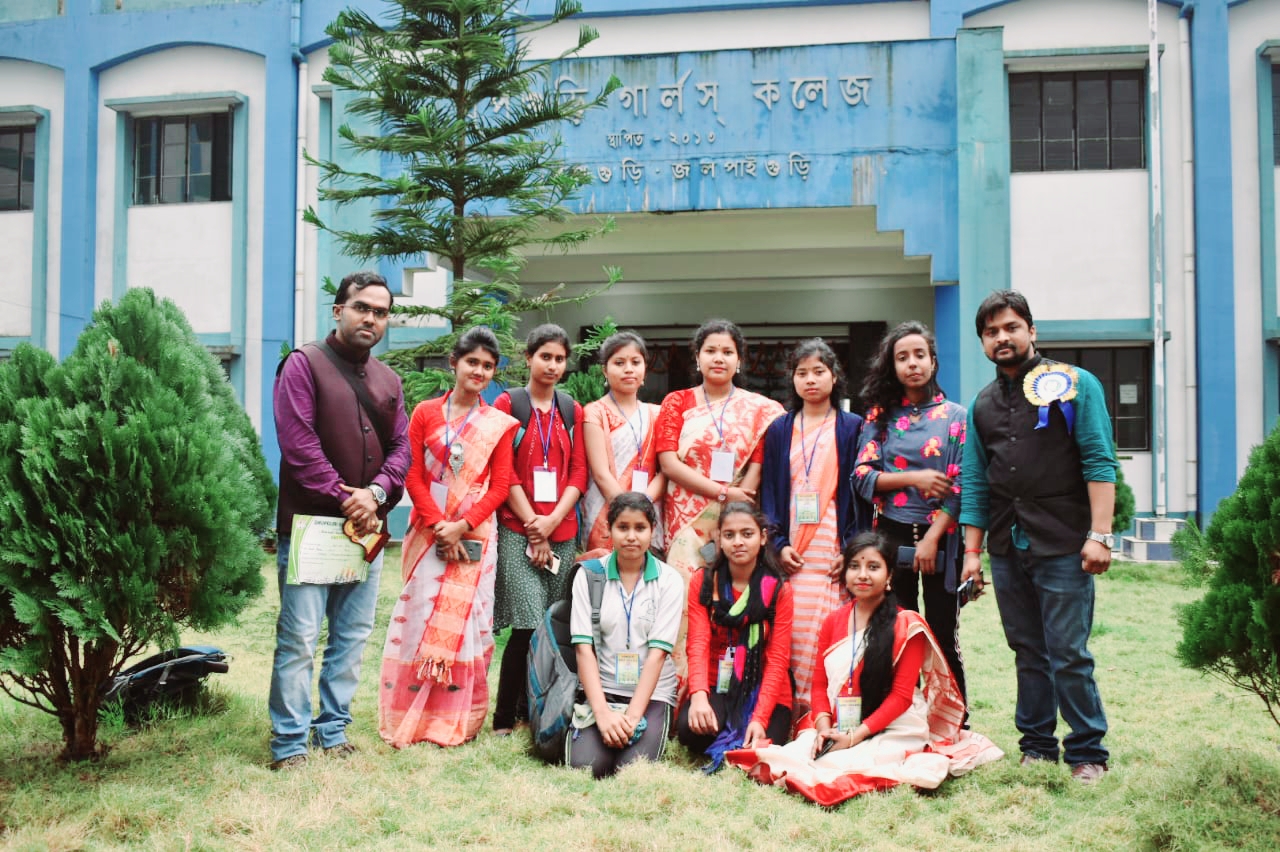
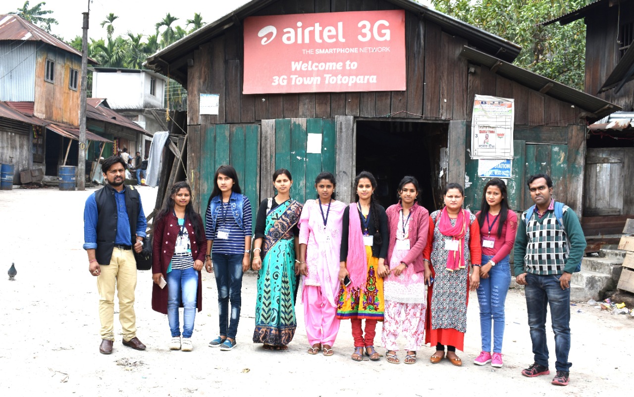
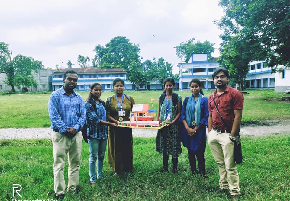
| 3 | FIELD EXCURSION REPORTS | VIEW DOCUMENT |
| 4 | IIARI_PROGRAMMES | VIEW DOCUMENT |
| 5 | INVITED LECTURES | VIEW DOCUMENT |
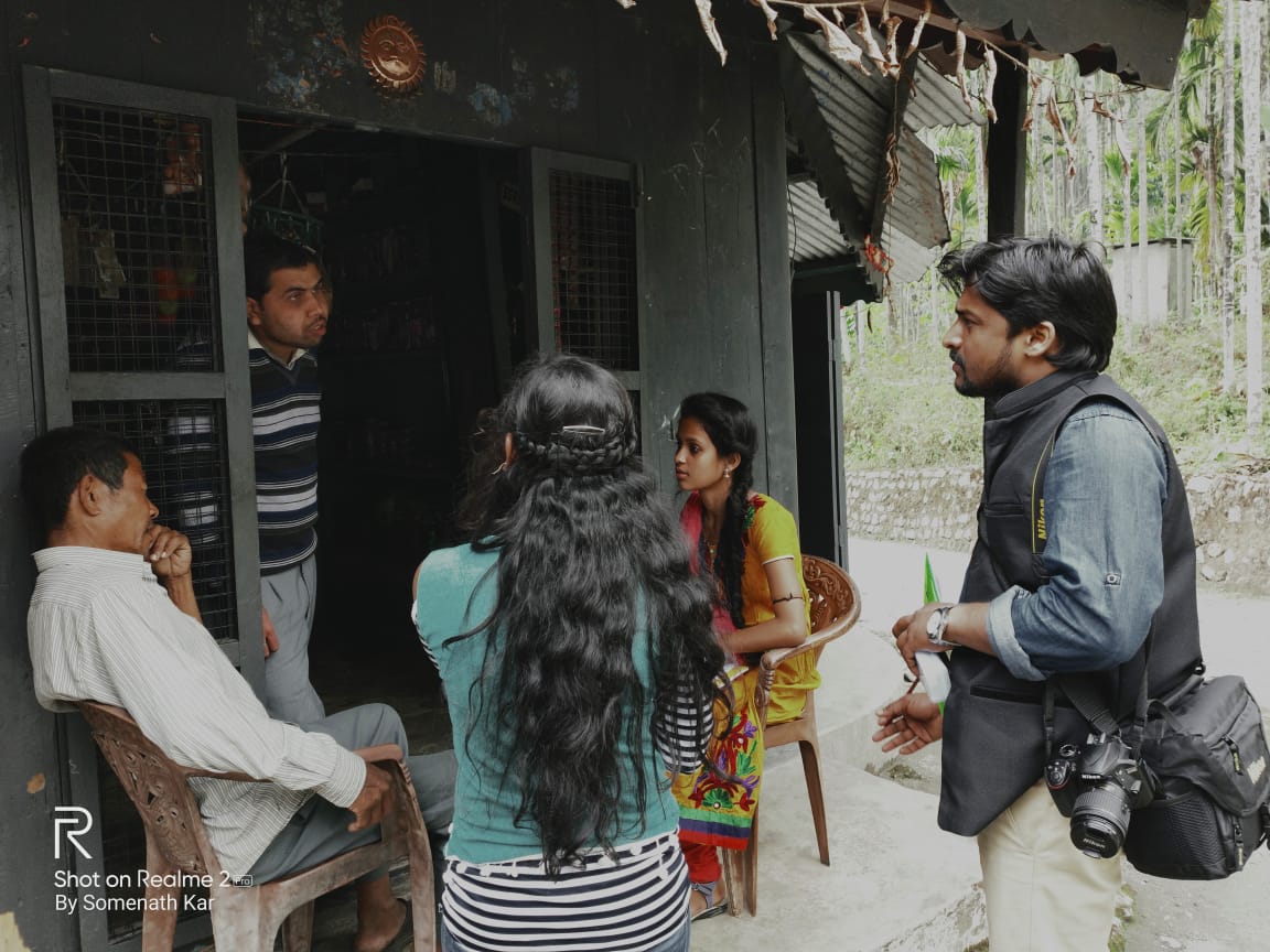
| 6 | SOCIAL OUTREACH PROGRAMME | VIEW DOCUMENT |
| 7 | QUIZ ON WOMEN GEOGRAPHERS | VIEW DOCUMENT |
| 8 | 7 DAYS WORKSHOP ON RESEARCH METHODOLOGY | VIEW DOCUMENT |
| 2 | SOCIAL OUTREACH PROGRAMME | VIEW DOCUMENT |
| SL NO | CONTENT | LINK |
|---|---|---|
| 1 | STUDENT FEEDBACK FORM (PRESENT STUDENT) | VIEW GOOGLE FORM |
| 2 | STUDENT FEEDBACK FORM (PASSED OUT STUDENT) | VIEW GOOGLE FORM |
| SL NO | CONTENT | LINK |
|---|---|---|
| 1 | STUDENT FEEDBACK ANALYSIS (PASSED OUT STUDENT) | VIEW REPORT |
| 2 | STUDENT FEEDBACK ANALYSIS (PASSED OUT STUDENT) | VIEW REPORT |
|
Document Name |
Description |
Action |
|
ADD ON GEO & ENVS 2019_Final_corrected.pdf |
Final corrected version of the Geo & Envs 2019 course document. |
|
|
ADDON_GEO_EDUCATION.pdf |
Supplementary document for Geo Education. |
|
|
COMPUTER_ADD ON_final.pdf |
Final version of the Computer Add-On course document. |
|
|
REPORT_ADDON_COURSE_KNOW YOUR SOIL_FINAL.pdf |
Final report for the Know Your Soil course. |
|
# |
Plan |
Details |
|
1 |
Curriculum Enhancement |
|
|
2 |
Modernization of Laboratories |
|
|
3 |
Faculty Development |
|
|
4 |
Research and Publication |
|
|
5 |
Field Studies and Excursions |
|
|
6 |
Internship and Industry Collaboration |
|
|
7 |
Community Outreach |
|
|
8 |
Skill Development |
|
|
9 |
Alumni Engagement |
|
|
10 |
Global Collaborations |
|
|
11 |
Outreach to Schools |
|